COLORADO FLUVIAL HAZARD MAPPING PROGRAM TRAINING MODULE 2: OPTION 2
In-Person: Longmont
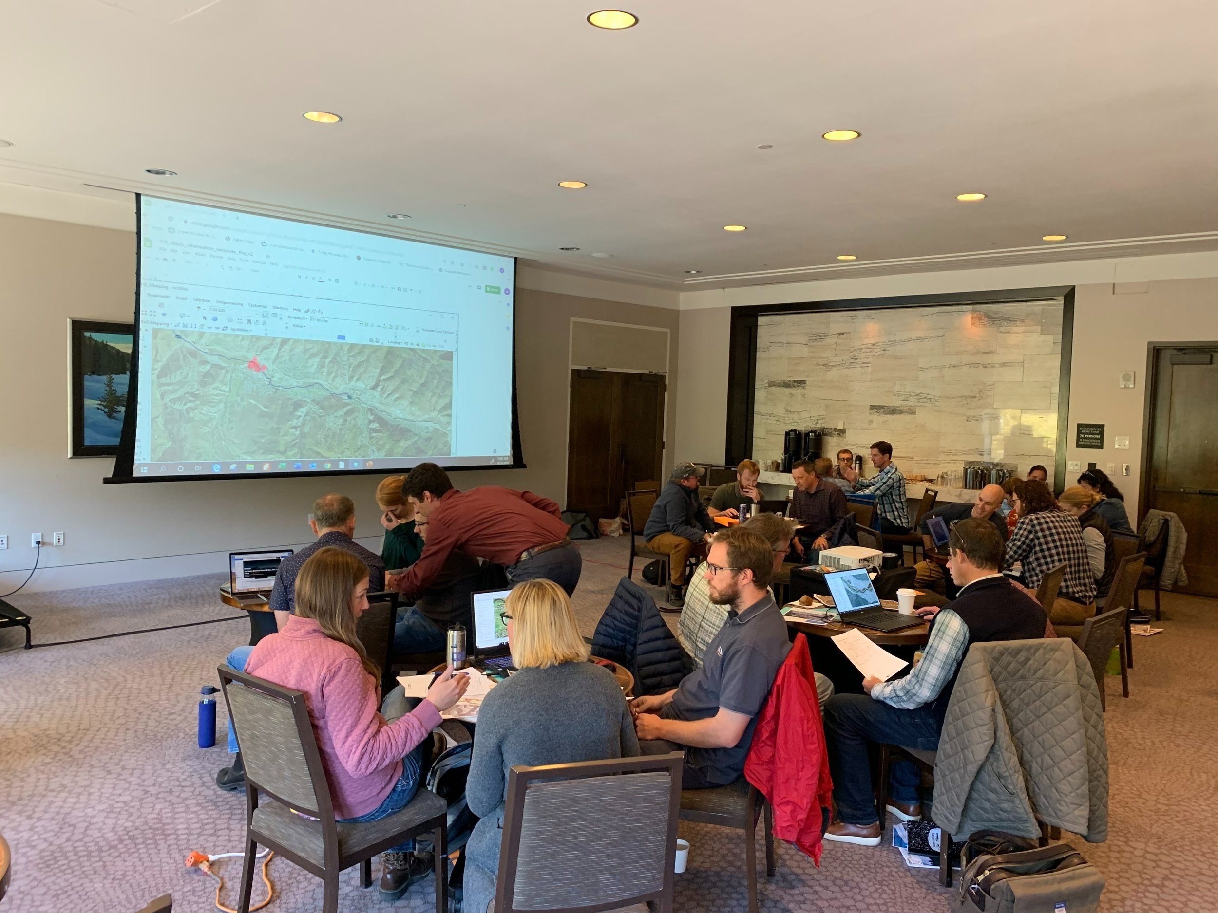
Building off of Module 1 we will apply an understanding of the hydrologic, geomorphic, and biotic context of a stream corridor system to determine geomorphic trajectory and sensitivity. We will then apply this context to delineating FHZ mapping components based on the methods outlined in the Colorado Water Conservation Board FHZ Mapping Protocol (v1.0). We will learn and apply GIS tools for mapping the FHZ and also conduct a field trip in which we will make and integrate field based observations into our FHZ delineations.

COLORADO FLUVIAL HAZARD MAPPING PROGRAM TRAINING MODULE 1: OPTION 2
Virtual Option
Participants will be introduced to stream corridor processes (physical and biological) and the various ways of defining them. You will explore more and less compatible management practices and opportunities within stream corridors. Participants will identify and understand the fundamental processes and components of Fluvial Hazard Zone maps and how the FHZ Mapping Program can be applied to manage the stream corridors under their purview.

COLORADO FLUVIAL HAZARD MAPPING PROGRAM TRAINING MODULE 1: OPTION 1
In-Person at the CASFM Conference in Steamboat
Participants will be introduced to stream corridor processes (physical and biological) and the various ways of defining them. You will explore more and less compatible management practices and opportunities within stream corridors. Participants will identify and understand the fundamental processes and components of Fluvial Hazard Zone maps and how the FHZ Mapping Program can be applied to manage the stream corridors under their purview.
